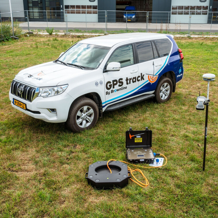
GPS track. Extreme accuracy at the exit point.
Centimeter-accurate punch-outs
More precise longer drills
Controls the passage of underground obstacles
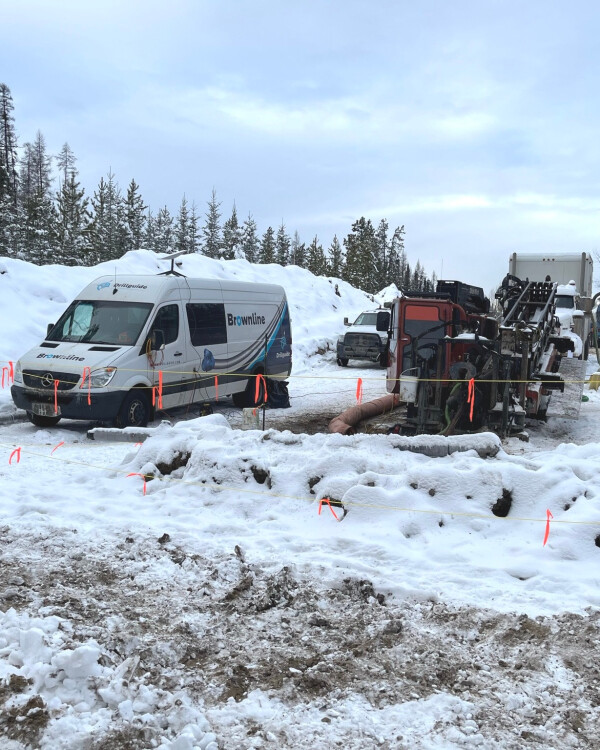
Longer and more complex drillings, along with higher requirements for accurate punch-outs, are more the rule than the exception. GPS track is a user-friendly system that acts as an extra check from the surface. GPS track is integrated in the Drillguide Gyro Steering Tool and uses a surface unit above the ground.
How does GPS track work?
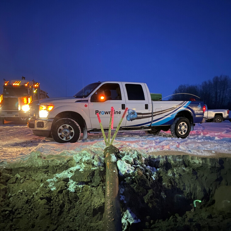
GPS track always works in combination with the Drillguide Gyro Steering Tool (GST). The compact GPS track unit is placed at ground level, above the planned drilling line. This enables checks to be carried out at various points.
The GPS track unit is placed at a control point in order to measure the position of the tool underground. As soon as the drill head reaches the control point, the surveyor takes a measurement. This takes only a few seconds, after which the surveyor can immediately see the measured position on the screen. After this measurement, the drilling can resume immediately.
Precise drilling through advanced technology
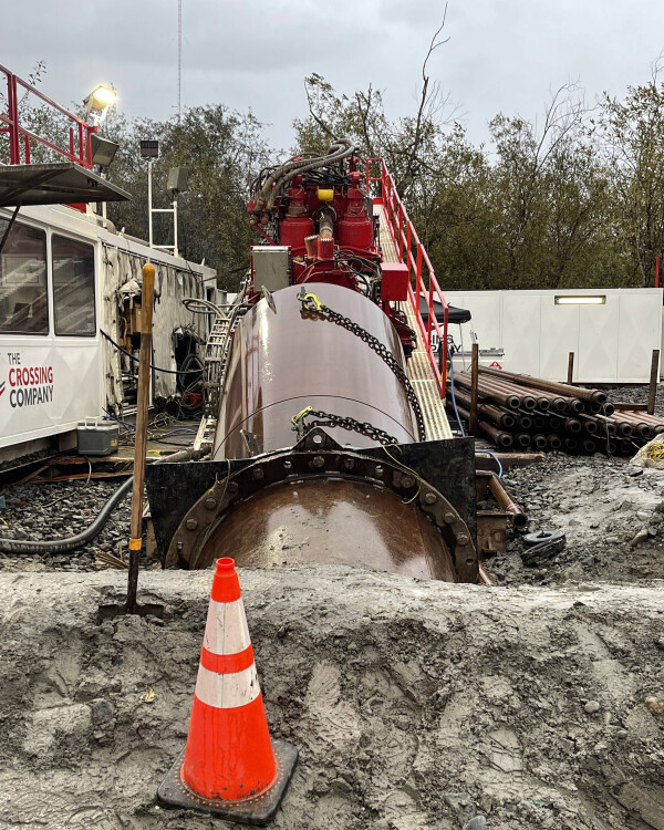
GPS track acts as additional check from surface level, while the Drillguide Gyro Steering Tool provides highly accurate underground navigation. This makes it possible to carry out directional drilling safely, accurately and efficiently.
By combining two measurement techniques, risks are reduced and additional security is built in, for example when passing underground obstacles. It can also be used to achieve a punch-out with centimeter accuracy.
This is essential for drilling with minimal tolerance, where absolute accuracy is required.
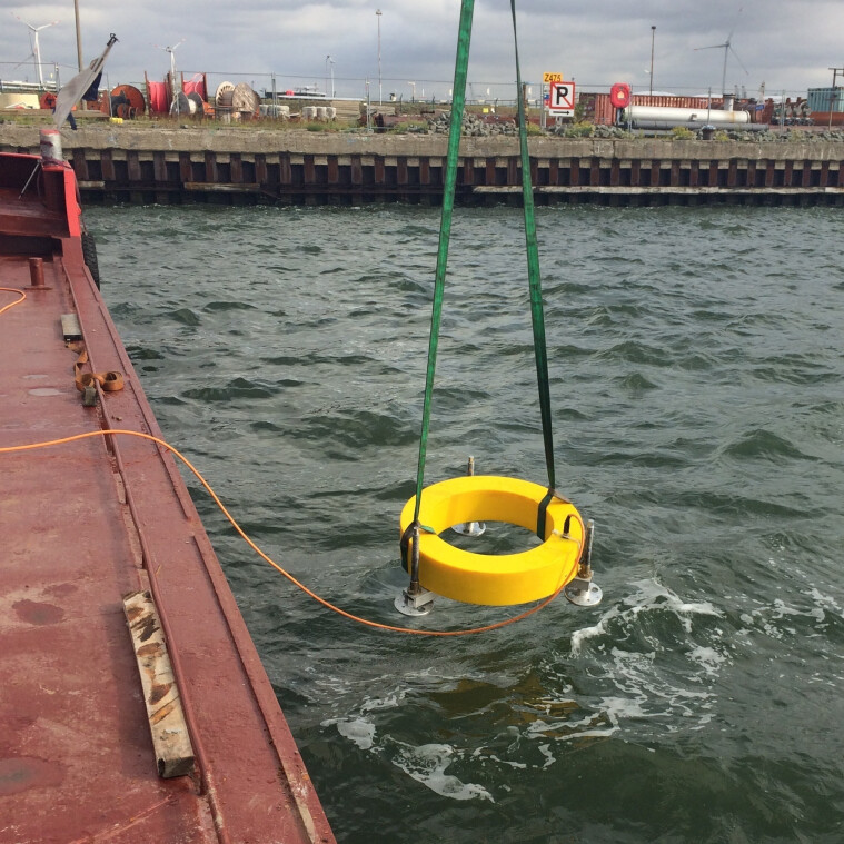
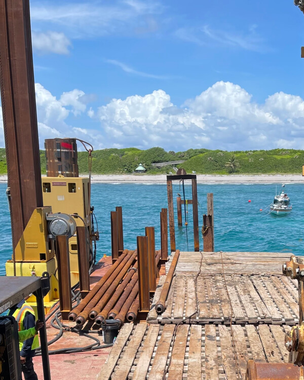
Water is no longer a barrier for completely controlled drillings
Realizing a centimeter-precise punch out on the bottom of a waterway can be a major challenge. The submersible version of our GPS track makes it possible.
Modifying the GPS track's outer casing to allow for underwater use has made it possible to track a drill path up to a maximum of 40 m / 130 ft below the river or seabed, at a depth of 100 m / 340 ft below the water surface.
Frequently asked questions
What is the GPS track used for?
To what depth can GPS track be used?
Is the GPS track for sale?
What is the GPS track used for?
The GPS track is used to reduce risks and increase accuracy during horizontal directional drilling projects. Through real-time positioning of the drill head, GPS track provides an extra control during the bore. It minimizes the chance of deviation, and improves the overall efficiency and safety of the drilling operation.
To what depth can GPS track be used?
Brownline’s GPS track can be used to a depth of up to 40 m / 130 ft. Within this range, the system provides real-time positioning of the drill head. This depth capability allows operators to benefit from precise guidance without relying on magnetic fields or underground sensors.
Is the GPS track for sale?
No, the GPS track is not for sale. Instead of selling the tools, Brownline offers a complete service solution. Our experienced Service Team is available to support you throughout your pilot drilling project, ensuring precise guidance and successful execution using the Drillguide technology.
A solution for every drilling issue
GPS track. Extra checks, total control.
Are you interested how Brownline can benefit you? Don't hesitate to contact our experts.